Disc Golf arrives at Summerfield Park
June 5, 2020
Leslie VanOsdale
June 5, 2020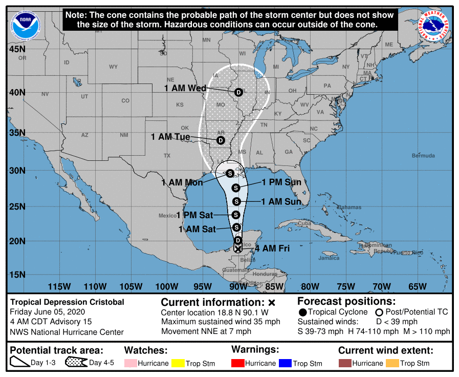
The 4am showed a little shift in the projected path, with Tropical Storm Cristobal projected to reach the Louisiana coast in the early morning hours of Monday.

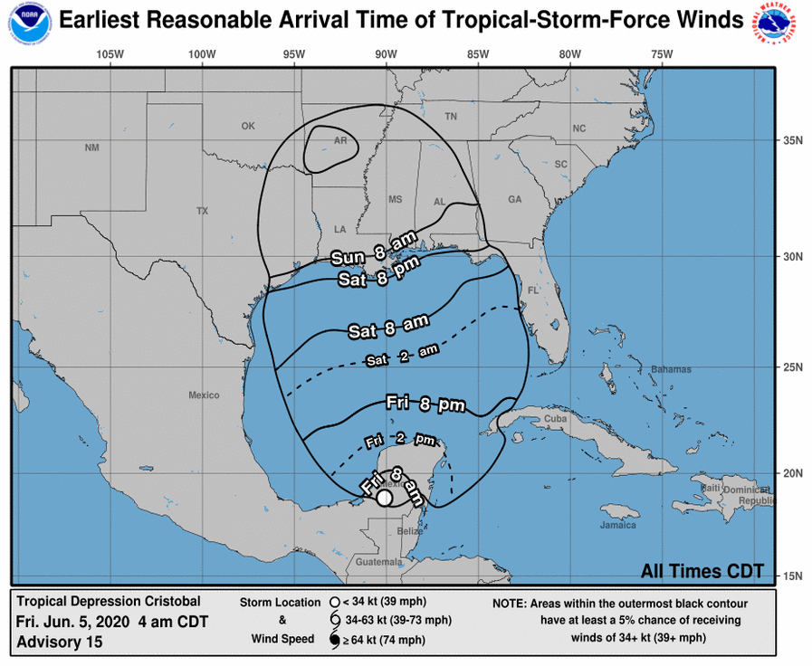
Tropical-storm-force winds of more than 39 mph, with top sustained wind speeds of 60 mph, will be felt on Saturday evening for much of the Louisiana coast.
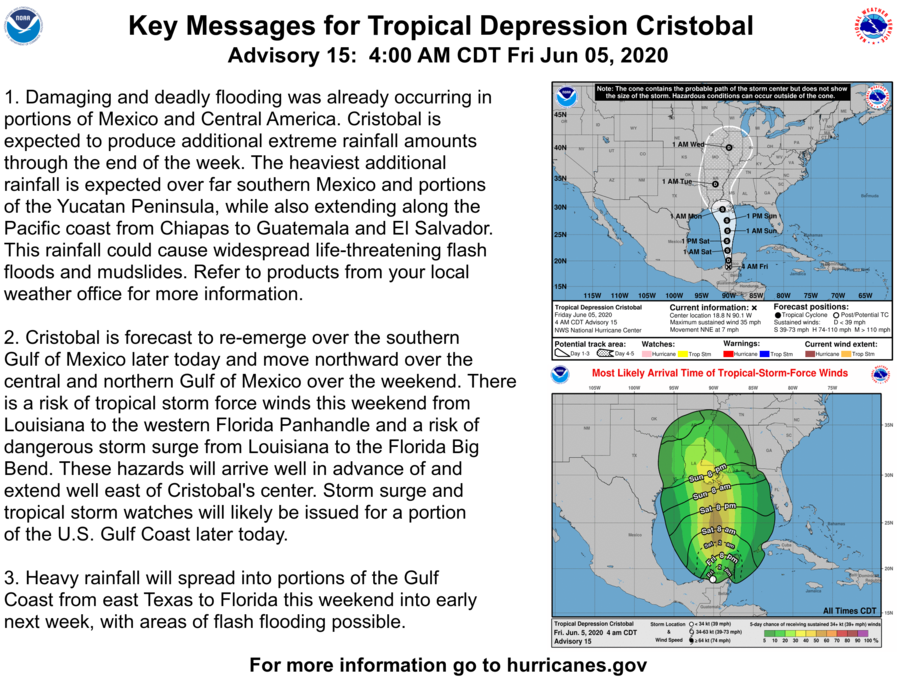
Heavy rainfall and flooding are currently what we need to be concerned about. The current “worst case rainfall” from the National Weather Service shows Terrebonne-Lafourche receiving 10-15″ of rain over the next 7 days, with the heaviest occurring over the weekend. Coastal flooding, including possible storm surge of as much as 6 feet, also is expected through the weekend.
From the NWS New Orleans-

A Tropical Storm Watch is now in effect for the outer coastal waters south and west of the mouth of the Mississippi River. The onset of tropical storm conditions would likely be on Saturday afternoon as winds in excess of 40 knots with higher gusts spread across the area.
Our area remains under a Flood Watch through Tuesday. A Flood Watch means there is a potential for flooding based on current forecasts. You should monitor later forecasts and be alert for possible flood warnings. Those living in areas prone to flooding should be prepared to take action should flooding develop.