Tropical Depression 13 forms in the Atlantic
August 19, 2020
TPSO: Sheriff asks for public’s help to identify Vandebilt Catholic burglary suspect
August 20, 2020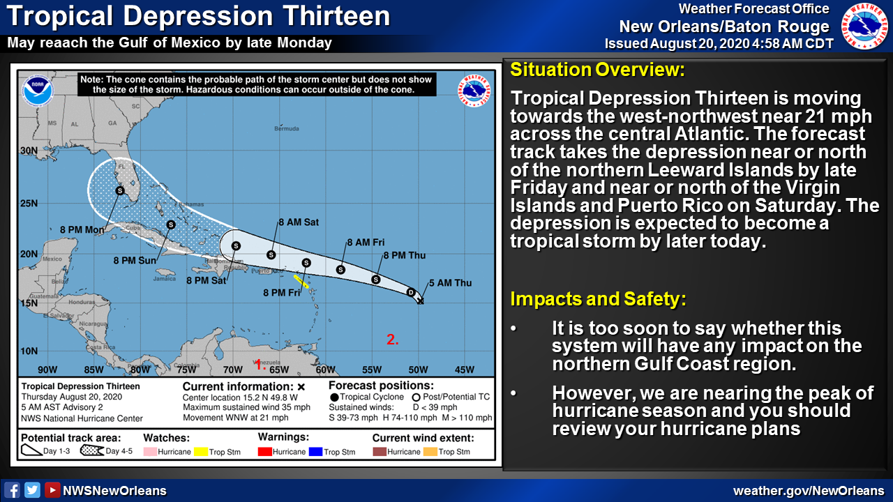
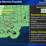
These graphics depict the marginal risk of severe thunderstorms today and Friday:


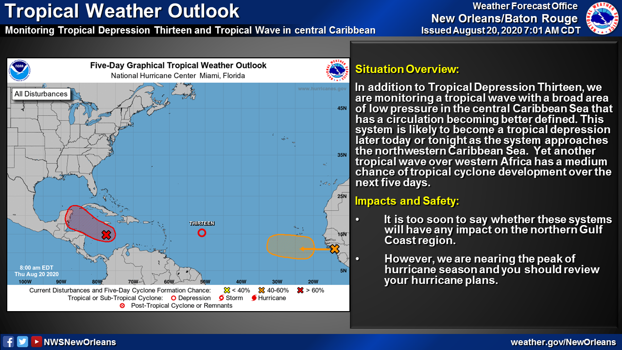
We continue to watch the tropics this morning which remain active. Tropical Depression Thirteen continues to move west-northwest fairly quickly near 21 mph across the central Atlantic Ocean early this morning, and this motion is expected to continue for the next few days. On the forecast track, the depression is expected to move near or north of the northern Leeward Islands by late Friday and near or north of the Virgin Islands and Puerto Rico on Saturday. The five day forecast does bring the system to near south Florida and the eastern Gulf of Mexico on Monday, however it is too soon to say whether this system will have any impacts on the north Gulf coast region.
Otherwise, the next couple days will see daily chances of showers and thunderstorms due to an upper level disturbance that is parked over the central Gulf coast region. A few of the storms today could become strong to severe and produce some very heavy rainfall in some areas, especially along and east of the lower Pearl River into southeast and coastal Mississippi. Rainfall chances should lower somewhat on Friday however as the upper system nudges east slightly allowing some drier air to filter into the region.