Paul A. Guidroz
March 11, 2014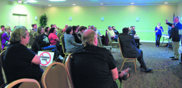
Common Core opponents rally ahead of La. session
March 11, 2014Terrebonne Parish’s bicentennial is less than a decade away, but territorial issues concerning where it adjoins with its mother parish in upper Bayou Blue and Grand Bois persist.
Efforts to resolve mapping inconsistencies between Lafourche and Terrebonne parishes were reignited late last month when Terrebonne Parish President Michel Claudet urged the Lafourche Council to support a bi-parish committee that would work toward a resolution.
Lafourche Council Chairman Daniel Lorraine agreed to appoint Councilman John Arnold, who represents Bayou Blue, parish administrator Archie Chaisson III and senior planner Jeffrey Leuenberger to the committee, he said. Terrebonne’s appointees will be administrative assistant Doug Bourg, director of zoning Pat Gordon and parish manager Al Levron, Claudet said.

“The simplicity of all this is for each parish to acknowledge where those boundaries are,” said Kevin Belanger, CEO of the quasi-governmental South Central Planning and Development Corporation, which has researched the boundary issues. “If they choose not to affirm them, they must agree on a new alignment.”
It’s far from the first time the two sides have tried to determine borders, with the state Supreme Court called to rule on issues in the late 19th century and several attempts made over the past 60 years to reach agreement upon one set of maps.
Terrebonne was carved from Lafourche Interior Parish in 1822, but universal accord didn’t last long. Twice in the 19th century, Lafourche’s police jury took Terrebonne to court in boundary disputes – over land, over oyster beds in Timbalier Bay and over which stream of water was truly Bayou Blue – that reached the Louisiana Supreme Court.

The high court ruled both times in Lafourche’s favor. Included in one opinion is brief debate concerning whether justices could refer to the French-text version of the act that set forth Terrebonne’s boundaries, as it was clearer.
The issue now is inconsistencies between two sets of maps: the state of Louisiana’s boundary tracts, which the U.S. Department of Justice recognize, and Tobin survey maps from more than 50 years ago, which were based on land deeds and used by tax assessors.
“Through that use, those maps were inherently not that accurate – they were more for planning oil and gas activities,” Belanger said. “At the time, it was the only real abundance of mapping available to assessors to use, and thence, that’s where I think the ultimate issues began.”

Differences in Bayou Blue are relatively straightforward, Belanger said. The Tobin maps recognize Louisiana Highway 316 – known as Bayou Blue Road – as the dividing line. On the other hand, the DOJ-recognized boundary uses the actual section line, a universal way of marking land by distinguishing sections at one-mile intervals.
The distinction is a little more difficult in Grand Bois, where Bayou Blue historically served as the dividing line. As time has gone on, the bayou has been filled in and is now covered.
“Some say they’ve moved it,” Belanger said. “That’s going to take a little more work, but we know where about the vicinity of it is. Grand Bois is not as easy to solve as the Bayou Blue area. … It’s not a section line. … It’s going to take more understanding from both parishes to where it should be.”

Although assessors have agreed for years to maintain the status quo as it pertains to taxing, ambiguity over the parishes’ boundaries has fostered myriad problems for residents. Chief among them is adherence to voting districts, Belanger said.
During district reapportionment in 2001 and 2011 – required after new Census data is collected – South Central Planning used state maps to draw interior lines because those maps are recognized by the DOJ. But voters’ registrars have used Tobin maps, incorrectly permitting people to cast votes in elections, said Belanger, who said it’s possible improper voting may have swung two previous elections.
“That’s the unfortunate thing: We don’t know if that would have made a difference in history because of the erroneous placement of these lines,” he said, adding a candidate could challenge results in a close race and if a parish is found to have utilized improper voting precincts, local government could be compelled to recoup the candidate of all his or her campaign funds.
Dozens of students in contested zones are left to choose which school district they wish to attend, no matter where their parents pay taxes, officials have said. Other issues include construction permits, flood insurance premiums fire and police protection.
“There’s been a lot of talk back and forth, but this is probably going to be the most active attempt to try and resolve it, I think,” Lorraine said.
