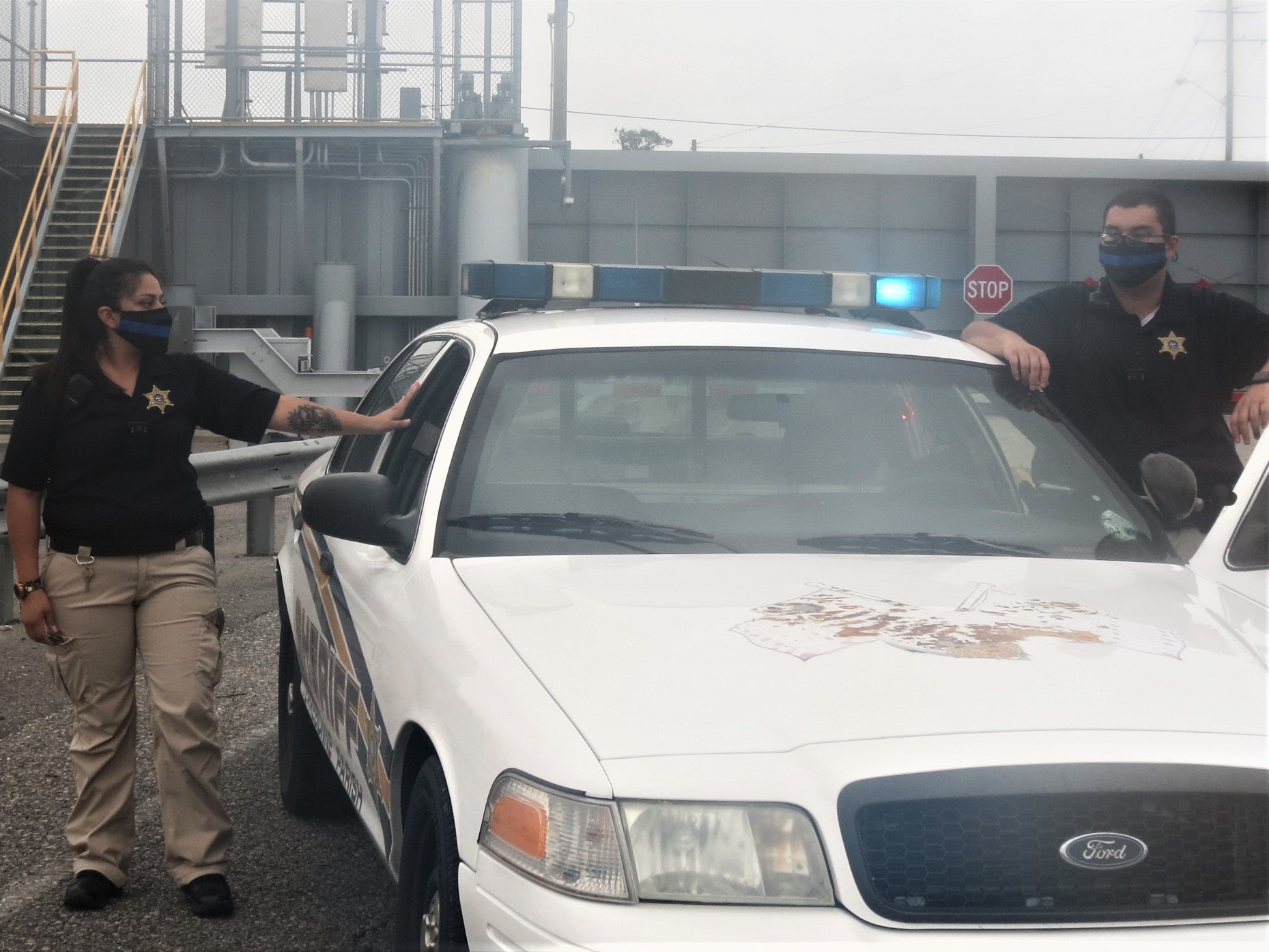
Terrebonne Sheriff: Curfews in place; caution is advised
October 8, 2020
Ochsner St. Anne Receives 2020 Press Ganey Guardian of Excellence Award for Patient Experience
October 9, 2020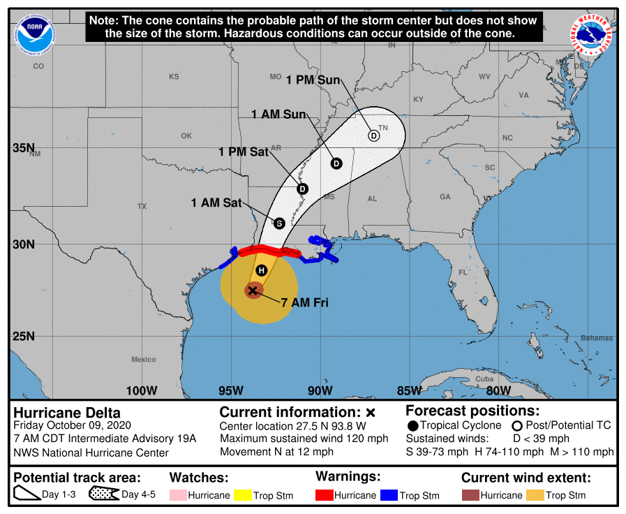
No major changes with either the 4 a.m. or the 7 a.m. advisories. Hurricane Delta is still a very strong category 3 storm. No major track changes with slight shift east with landfall expected along eastern Cameron Parish/Vermilion Parish this afternoon/evening as a Category 2. Hurricane force winds extend 40 miles from the center while tropical storm force winds extend outward over 160 miles from the center. This means we can expect to experience wind speeds any where from 39-55 mph with higher gusts. We are also forecast to experience a storm surge of 4-7 feet.
At 700 AM CDT (1200 UTC), the center of Hurricane Delta was located near latitude 27.5 North, longitude 93.8 West. Delta is moving toward the north near 12 mph (19 km/h), and this motion is expected to continue today followed by a north-northeastward motion by tonight. On the forecast track, the center of Delta will move inland within the hurricane warning area this evening.

Maximum sustained winds are near 120 mph (195 km/h) with higher gusts. Delta is a category 3 hurricane on the Saffir-Simpson Hurricane Wind Scale. Slow weakening is expected to begin as Delta approaches the northern Gulf coast later today, with rapid weakening expected after the center moves inland.
Hurricane-force winds extend outward up to 40 miles (65 km) from the center and tropical-storm-force winds extend outward up to 160 miles (260 km). The latest minimum central pressure estimated from NOAA Hurricane
Hunter aircraft data is 958 mb (28.29 inches).

