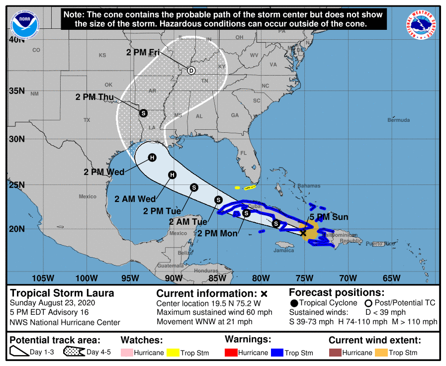
TS Laura begins to strengthen
August 23, 2020
LSP issues Level II Endangered/Missing Child Advisory
August 23, 2020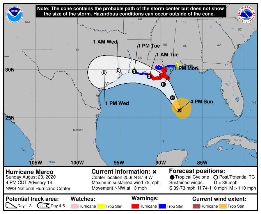
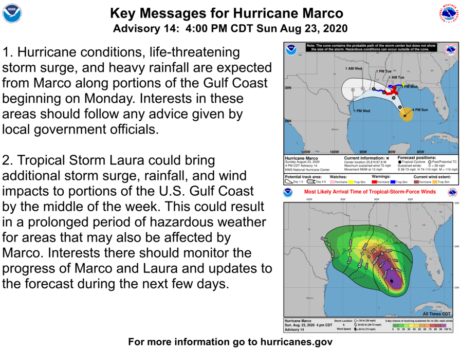
New with this update is Marco’s track, which takes it along the length of the Louisiana coast, instead of really moving onshore quickly. A Tropical Storm Warning has been issued from Cameron to west of Morgan City, Louisiana. The real concern with Marco with this track is the storm surge.
At 400 PM CDT (2100 UTC), the center of Hurricane Marco was located near latitude 25.8 North, longitude 87.8 West. Marco is moving toward the north-northwest near 13 mph (20 km/h), a turn to the
northwest is expected later tonight followed by a turn to the west-northwest by Monday night. On the forecast track, Marco will be near the Louisiana coast Monday afternoon, and move near or over the coast through Tuesday. Maximum sustained winds are near 75 mph (120 km/h) with higher gusts. Little change is strength is expected over the next 24 h. Gradual weakening is expected thereafter, and Marco could become a remnant low by Tuesday night.
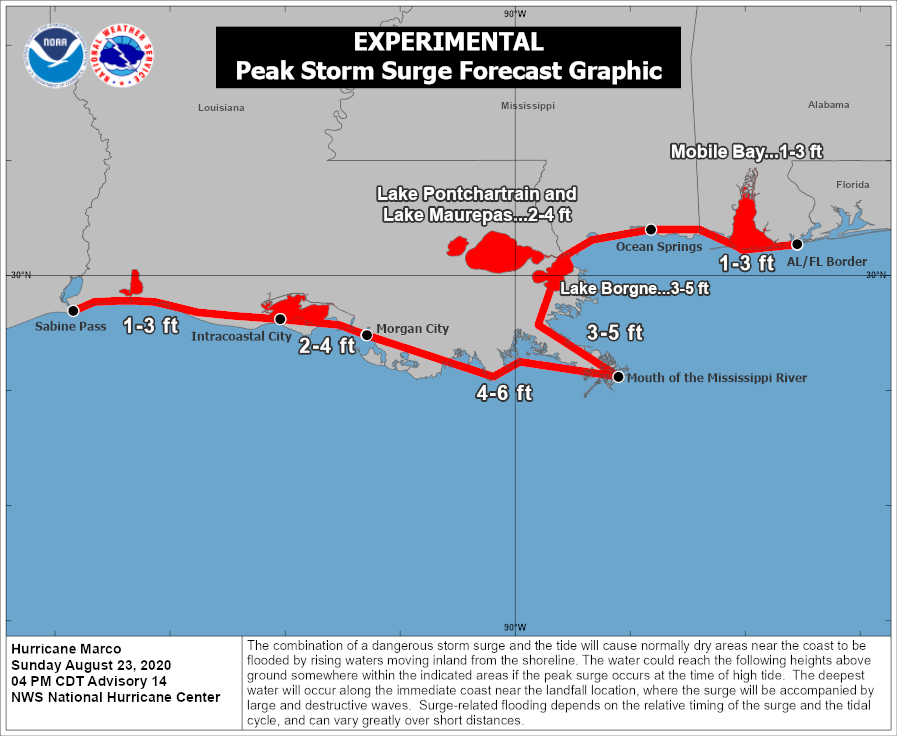
The combination of a dangerous storm surge and the tide will cause normally dry areas near the coast to be flooded by rising waters moving inland from the shoreline. The water could reach the following heights above ground somewhere in the indicated areas if the peak surge occurs at the time of high tide…

Morgan City LA to Mouth of the Mississippi River…4-6 ft
Mouth of the Mississippi River to Ocean Springs MS including Lake Borgne…3-5 ft
Lake Pontchartrain and Lake Maurepas…2-4 ft
Intracoastal City LA to Morgan City LA…2-4 ft
Sabine Pass to Intracoastal City…1-3 ft
Ocean Springs MS to the AL/FL Border including Mobile Bay…1-3 ft
The deepest water will occur along the immediate coast in areas of onshore winds, where the surge will be accompanied by large and dangerous waves. Surge-related flooding depends on the relative
timing of the surge and the tidal cycle, and can vary greatly over short distances.