
Local preparation for Hurricane Delta includes sinking barge in Grand Bayou
October 7, 2020
Terrebonne Booking Log: 10/07/2020
October 7, 2020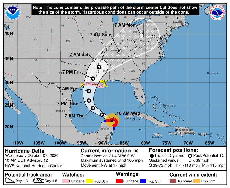
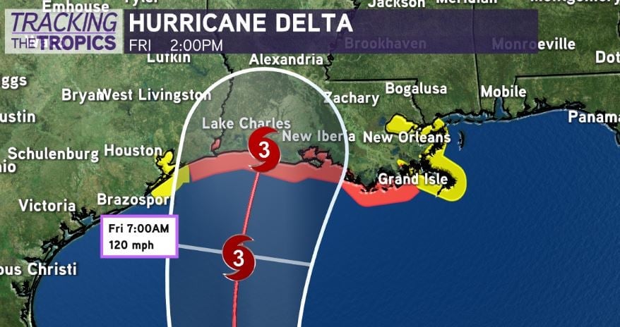
The 10 a.m. update brings a new track and a series of watches and warnings to our state. The current track has shifted more west and takes the storm center near Lafayette, but impacts will be felt outside of the center.
A Storm Surge Watch has been issued for the northern Gulf coast from High Island, Texas, to the Alabama/Florida border including Calcasieu Lake, Vermilion Bay, Lake Pontchartrain, Lake Maurepas, Lake Borgne and Mobile Bay.

A Hurricane Watch has been issued for the northern Gulf coast from High Island, Texas, eastward to Grand Isle, Louisiana.
A Tropical Storm Watch has been issued along the Texas coast from west of High Island to San Luis Pass. A Tropical Storm Watch has also been issued along the northern Gulf coast from east of Grand Isle, Louisiana, to Bay St. Louis, Mississippi, including the city of New Orleans, Lake Pontchartrain and Lake Maurepas.
A Storm Surge Watch is in effect for High Island, Texas, to the Alabama/Florida border including Calcasieu Lake, Vermilion Bay, Lake Pontchartrain, Lake Maurepas, Lake Borgne and Mobile Bay.

A Hurricane Watch is in effect for High Island, Texas to Grand Isle, Louisiana.
A Tropical Storm Watch is in effect for San Luis Pass to west of High Island, Texas; East of Grand Isle Louisiana to Bay St. Louis Mississippi, including New Orleans; Lake Pontchartrain and Lake Maurepas.
At 1000 AM CDT (1500 UTC), the center of Hurricane Delta was located near latitude 21.4 North, longitude 88.0 West. Delta is moving toward the northwest near 17 mph (28 km/h). A northwestward motion with a reduction in forward speed is expected over the next 24 hours. A north-northwestward motion is expected by late Thursday, and a faster northward to north-northeastward motion is forecast on Friday and Friday night. On the forecast track, the center of Delta will move over the southern Gulf of Mexico this afternoon, be over the southern or central Gulf of Mexico through Thursday, and approach the northern Gulf coast within the hurricane watch area on Friday.

Maximum sustained winds are near 105 mph (165 km/h) with higher gusts. Re-strengthening is forecast when the hurricane moves over the southern and central Gulf of Mexico through Thursday, and Delta is expected to become a major hurricane again. Some weakening is is forecast as Delta approaches the northern Gulf coast on Friday.
Hurricane-force winds extend outward up to 30 miles (45 km) from the center and tropical-storm-force winds extend outward up to 125 miles (205 km). The estimated minimum central pressure is 975 mb (28.80 inches).

