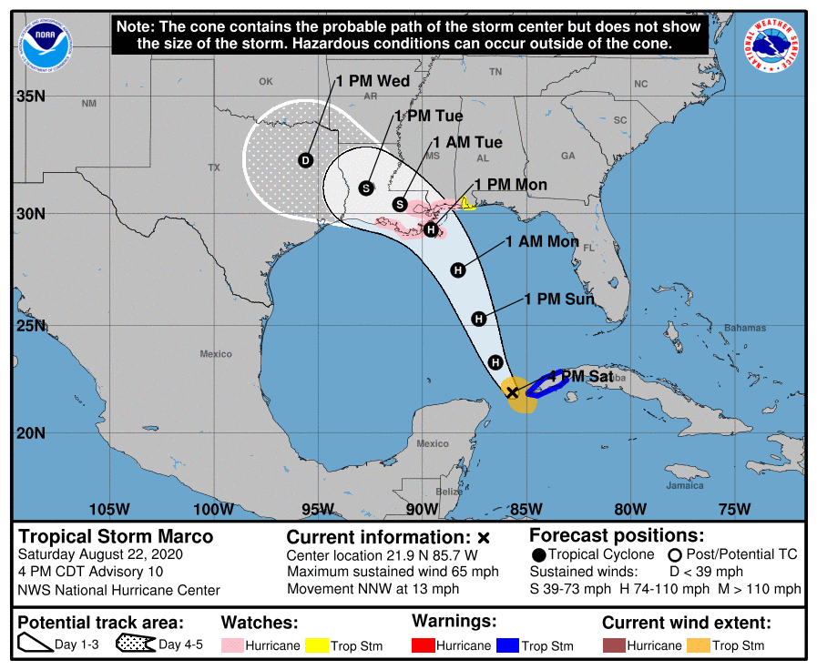
Big changes to Marco’s track point it right at Louisiana
August 22, 2020
Lafourche issues Mandatory evacuation south of floodgates
August 22, 2020
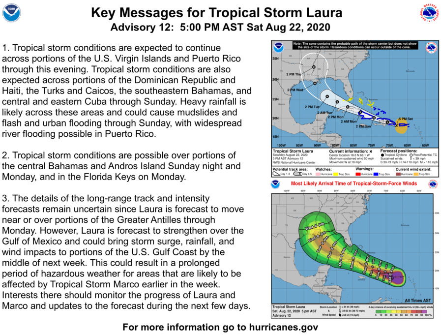
Tropical Storm Laura continues her steady track towards the US. Strengthening is expected once it reaches the Gulf of Mexico.
At 500 PM AST (2100 UTC), the center of Tropical Storm Laura was located near latitude 18.0 North, longitude 68.1 West. Laura is moving toward the west near 18 mph (30 km/h), and a generally
west-northwestward motion is expected over the next few days. On the forecast track, the center of Laura will move away from Puerto Rico this evening, near or over Hispaniola tonight, near or over Cuba Sunday and Monday, and into the southeastern Gulf of Mexico Monday night and Tuesday.
Maximum sustained winds are near 50 mph (85 km/h) with higher gusts. No significant changes in strength are forecast during the next 48 hours while Laura moves near or over Hispaniola and Cuba. Some
strengthening is forecast once Laura moves into the Gulf of Mexico Monday night and Tuesday.

Tropical-storm-force winds extend outward up to 205 miles (335 km) from the center. A Weatherflow station at Las Mareas in Puerto Rico recently reported sustained winds of 34 mph (55 km/h) and a wind gust to 40 mph (64 km/h).
The estimated minimum central pressure is 1004 mb (29.65 inches).