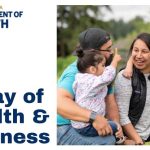
Come out for the no-cost Health & Wellness Event this February
January 14, 2024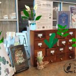
Get Growing with TPL’s Seed Library!
January 14, 2024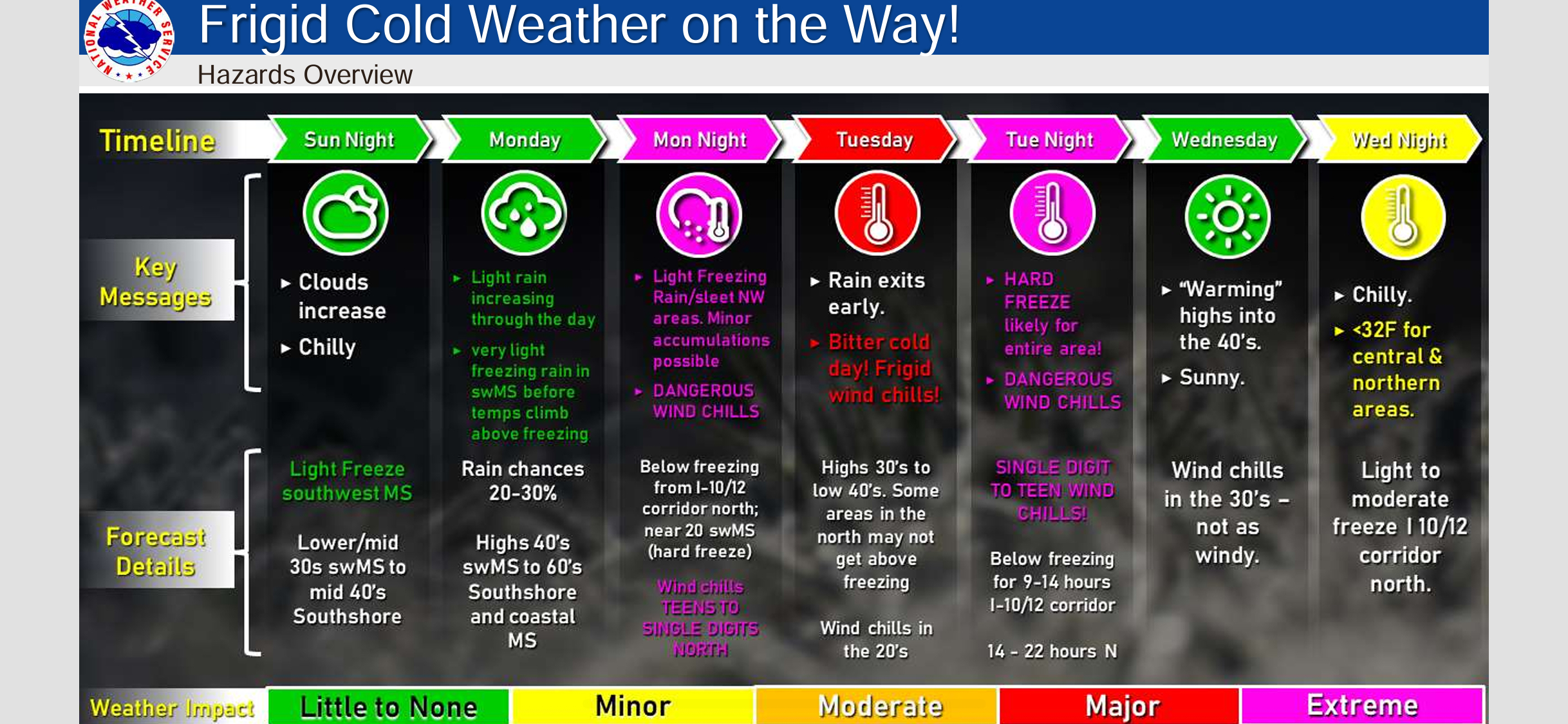
Here is an update from the National Weather Service in New Orleans concerning the winter weather threat Monday Night through Wednesday