
Mandatory evacuations ordered for Terrebonne, Lafourche
August 28, 2021
8 Tips on Running a Portable Generator During a Power Outage
August 28, 2021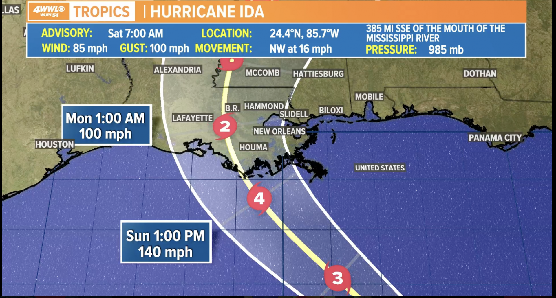
The 7am intermediate update shows Hurricane Ida’s wind speeds have increased to 85MPH.
Dangerous, destructive winds will occur where the eye wall comes onshore, right now between Terrebonne and St. Mary parishes. THe National Hurricane Center still has the system making landfall as a Category 4 with 140mph winds at landfall. Gusts above 150 will be experienced in parts of Terrebonne and St Mary Parishes.
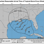
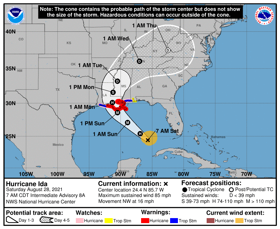
At 7 a.m. CDT, the center of Hurricane Ida was located over the Gulf of Mexico about 440 miles (710 km) southeast of New Orleans, Louisiana. Ida is moving toward the northwest near 16 mph (26 km/h) and this general motion should continue through late Sunday or early Monday, followed by a slower northward motion on Monday. On the forecast track, the center of Ida will move over the southeastern Gulf of Mexico today and move over the central Gulf of Mexico tonight and early Sunday. Ida is then expected to make landfall along the U.S. northern Gulf coast within the hurricane warning area on Sunday, and then move inland over portions of Louisiana or western Mississippi later on Monday.
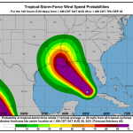
Maximum sustained winds have increased to near 85 mph (140 km/h) with higher gusts. Hurricane-force winds extend outward up to 25 miles (35 km) from the center and tropical-storm-force winds extend outward up to 115 miles (185 km). The latest minimum central pressure estimated from NOAA reconnaissance aircraft data is 985 mb (29.09 inches). Rapid strengthening is forecast during the next 24 to 36 hours and Ida is expected to be an extremely dangerous major hurricane when it approaches the northern Gulf coast on
Sunday. Weakening is expected after Ida makes landfall.

