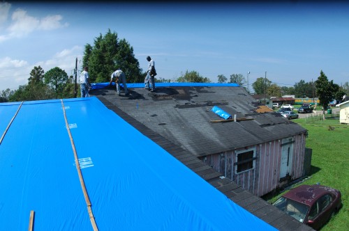
Lafourche prepared if storm approaches
June 5, 2012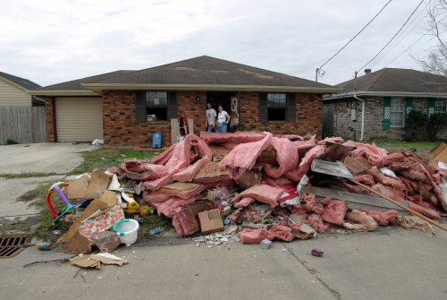
Safeguard tax, financial records during storm season
June 5, 2012
The 2012 hurricane season marks the 20th anniversary of Hurricane Andrew, which cut across Florida and slammed into Louisiana during Aug. 24-26, 1992. That Category 5 event was the first storm that formed in a late-starting season, which produced only six named storms. It caused $27 billion in damage to both states.
Forecasters predicted that the 2011 season would see lighter than normal storm activity, and it turned out to be the least active in nine years due to a strong El Niño. It still did not eliminate the occurrence of one historically devastating event.

Two decades later, atmospheric conditions, including the presence of an El Niño, favor what forecasters are broadening their range and calling for mild to near-normal hurricane activity in the Atlantic Basin.

The 2012 hurricane season officially began Friday, and for the six-month season the National Oceanic and Atmospheric Administration Prediction Center has forecasted a 70 percent chance of nine to 15 named storms developing with top winds exceeding 39 mph.
National Weather Service forecasters predict that four to eight storms will produce hurricane strength winds of 74 mph or higher, and one to three will become major hurricanes, ranked as Category 3, 4 or 5, with top winds at or greater than 111 mph.

Forecasters currently base their predictions on activity and common weather conditions that occurred between 1981 and 2010. Based on that data, an average season produces 12 named storms with six hurricanes, including three major events. Even with a contrast between mathematical averages and new projections, weather watchers are optimistic regarding the 2012 season.

“There is a pretty wide range given when it comes to predicting hurricanes,” National Weather Service Slidell center meteorologist Frank Revitte said. “We don’t really get into what areas are more favorable. We don’t really consider long range [expectations], but we do live in an area vulnerable to storm surges. Remember, [Hurricane] Ike in 2008 did not directly hit Louisiana, it hit southeast Texas, but it caused quite a bit of storm surge damage in Terrebonne and Lafourche parishes.”
“No matter what the forecast is, it is always important to remain prepared for hurricanes as well as any disaster,” Terrebonne Parish Emergency Operations Center Director Earl Eues said. “It is best to always remain prepared.”
“NOAA’s outlook predicts a less active season compared to recent years,” NOAA Administrator Jane Lubchenco said in a prepared statement. “Regardless of the outlook, it’s vital for anyone living or vacationing in hurricane-prone locations to be prepared. We have a stark reminder this year with the 20th anniversary of Hurricane Andrew.”
Favoring storm development in 2012 is the continuation of the overall conditions associated with the Atlantic high-activity era that began in 1995, and near-average sea surface temperatures across much of the tropical Atlantic Ocean and Caribbean Sea.
According to NOAA, two existing factors can limit storm development, if they persist. They are strong wind shear, which is hostile to hurricane formation and cooler sea surface temperatures in the far eastern Atlantic.
“NOAA’s improvement in monitoring and predicting hurricanes has been remarkable over the decades since Andrew, in large part because of our sustained commitment to research and better technology,” Lubchenco said. “More work remains to unlock the secrets of hurricanes, especially in the area of rapid intensification and weakening of storms. We’re stepping up to meet this challenge through our Hurricane Forecast Improvement Project, which has already demonstrated exciting early progress toward improving storm intensity forecasts.”
Lubchenco explained that more accurate forecasting on storm’s intensity at landfall and extending the forecast period beyond five days will help those living in hurricane threat zones.
The seasonal outlook does not, however, predict how many storms will hit land. Forecasts for individual storms and their impacts are provided by NOAA’s National Hurricane Center, which continuously monitors the tropics for storm development and tracking throughout the season using an array of tools including satellites, advance computer modeling, hurricane hunter aircraft, and land-and ocean-based observations sources such as radars and buoys.
“Just because the forecast says we will not see a lot of hurricanes does not mean we will not see something significant,” Revitte said.
Simply watching the weather can be deceptive during some hurricane seasons as light forecasts create a false sense of security, but often hide the potential of generating powerful storms.


